Safer roads
Street-level visibility helps surface hazards such as damaged signs, road issues, or lighting problems earlier.

We're starting a community-driven mapping phase where drivers capture street-level road context across their cities. These contributions help improve visibility into roads and public infrastructure — so communities and cities can respond faster and plan better.
Road and infrastructure issues often go unnoticed until they become serious problems. By capturing street-level context across their cities, Early Mappers help create the visibility needed to detect changes sooner and support better maintenance and planning decisions.
Street-level visibility helps surface hazards such as damaged signs, road issues, or lighting problems earlier.
Earlier signals allow cities and operators to prioritize inspections and repairs more efficiently.
Consistent street-level data supports better infrastructure planning and more resilient communities.
We’re starting with drivers who naturally cover large areas of the city during their daily work.
A growing footprint across priority urban environments where continuous street-level intelligence is being built.
 Ride-sharing drivers
 Delivery drivers
 Taxi drivers
Simple flow. Real impact. City by city.

Record during normal driving with a dashcam.
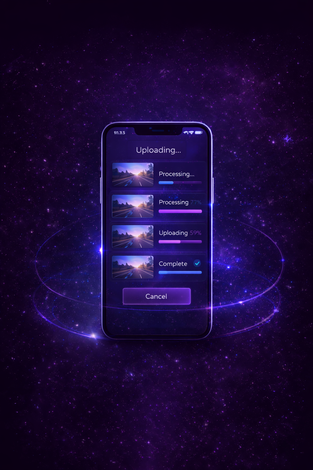
Upload trips through the app. Track upload + processing.

We extract infrastructure signals and changes over time.

Notifications showing how your coverage helped improve visibility, safety, and planning.

Top contributors may be highlighted as Early Mappers in their city.

Progress, streaks, and community goals as coverage grows.
Availability varies by city during the mapping rollout.
Street-level recordings are processed to extract infrastructure insights — not to identify individuals. Our system is designed to focus exclusively on roadway conditions and public assets.
Faces are not identified, analyzed, or stored.
Vehicle plates are not indexed, tracked, or monitored.
We do not build personal movement profiles or driver histories.
Sensitive visual elements are filtered and processed directly on your device before analysis.
Our system is designed to align with the strictest international privacy and data protection standards. No sale of personal data: The platform focuses exclusively on infrastructure intelligence. Road environment only: Capture is limited to public roadway context and infrastructure assets.

Recording stays the same — drive and record normally.
Some future recording opportunities may include cash rewards, fuel coupons, or EV charging credits, depending on the program phase and location.
Early Mappers may receive priority access as new opportunities become available.
Explorers contribute street-level video captured during everyday routes. This footage helps keep infrastructure data continuously refreshed, enabling better insights for cities, utilities, and public infrastructure systems.
Street-level data helps cities understand road conditions, infrastructure health, and changes in the built environment. Contributions from Explorers help create a continuously refreshed layer of real-world information that supports safer, better-maintained, and more efficient cities.
During the early mapping phase, Explorers contribute voluntarily to help establish the first high-frequency street-level dataset. Early Explorers may have opportunities to participate in later phases where inspection-related activities can be monetized.
Currently, Explorers contribute using a dashcam while driving their normal routes. Mobile phone capture capabilities are planned for future releases.
No. The ∞Dx Explorers program focuses on infrastructure intelligence. The system does not perform facial recognition or identify individuals, and privacy protections such as automatic blurring are applied.
Explorers contribute during their normal daily routes. The goal is to refresh street-level visibility continuously over time rather than relying on one-time mapping.
Anyone with a compatible dashcam and interest in contributing to community-driven infrastructure intelligence can apply to join the program.
Join the Explorer Pilot and contribute street-level context for safer roads and better infrastructure decisions.